Temora
First public display of the CAC Sabre
5 September 2009
A massive thanks goes to Iain for capturing such brilliant photos of a very memorable flight.
Iain's videos
Iain's photos - the flight out
-
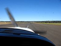
Rolling on RWY 06 at Camden.
-
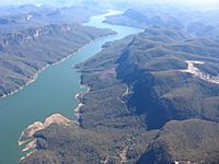
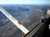
N over Lake Burragorang (colliery to the right).
-

Yerranderie.
-
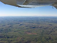
Approaching Taralga. Looking S along the Cookbundoon Range (distant, left of centre).
-
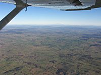
Heading SW approaching Taralga.
-
Crookwell.
-
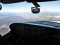
Descending through the cloud layer.
-
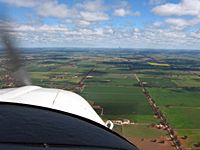
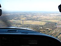
Approaching Temora.
-
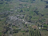
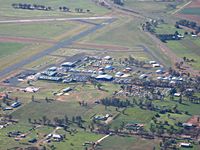
Overhead Temora.
-
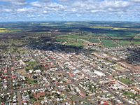
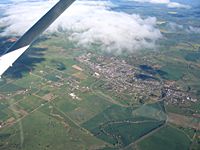
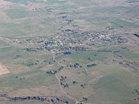
S over Temora township.
-
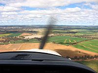
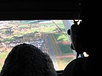
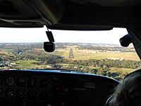
Long final for Temora RWY 18.
Andrew's photos - at Temora
-
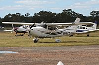
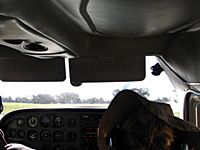
C182S PCO.
-
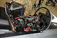
Hornet forward cockpit.
-
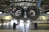
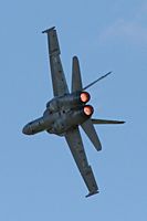
Business end of a Hornet.
-
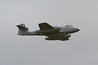
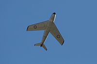
Meteor pass.
-
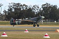
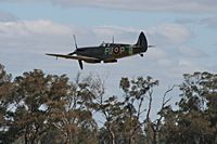
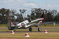
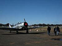
Taxiing Mk XVI Spitfire.
-
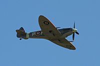
Mk XVI Spitfire pass.
-
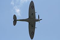
Mk XVI Spitfire pass.
-
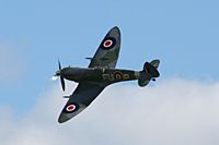
Mk XVI Spitfire pass.
-
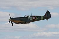
Mk XVI Spitfire pass.
-
Mk XVI Spitfire pass.
-
Taxiing Kittyhawk.
-
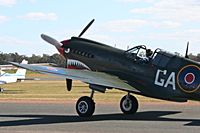
Taxiing Kittyhawk.
-
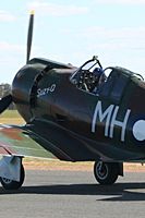
Taxiing Boomerang.
-
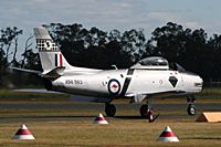
Taxiing Sabre.
-
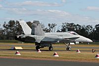
Taxiing Hornet.
-
Sabre pass.
-
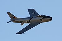
Sabre pass.
-
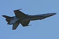
Hornet inverted pass.
-
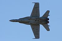
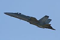
Hornet pass.
-
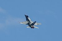
Hornet steep turn.
-
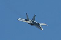
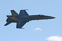
Hornet pass.
-
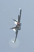
Hornet steep turn.
-
Hornet pass.
-
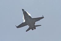
Hornet high attitude pass.
-
Hornet pass.
-
Hornet pass.
-
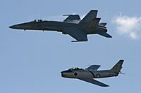
Sabre and Hornet.
-
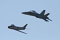
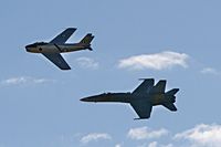
Sabre and Hornet.
-
Hornet and Sabre.
Iain's photos - the flight back
-
Returning to the aeroplane past a Harvard/T-6 Texan.
-
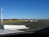
Queuing for departure from Temora.
-
Lining up RWY 23.
-
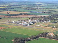
Departing overhead the aerodrome and museum.
-
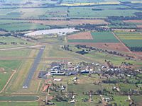
Departing overhead the aerodrome and museum.
-
Departing overhead the aerodrome and museum.
-
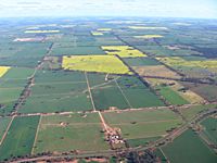
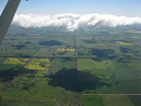
Canola crops to the SE of Temora.
-
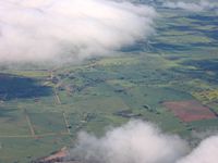
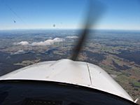
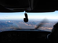
Climbing past the cloud layer.
-
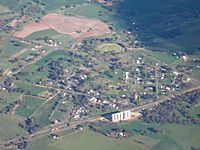
Wallendbeen.
-
Harden.
-
Looking N towards Mt Canobolas (left horizon) and Mt Macquarie (left of centre horizon) from near Boorowa.
-
Looking S towards Lake George (right of centre) from near Boorowa.
-
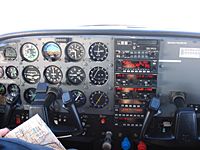
All's well. Ground speed around 160 knots.
-
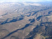
Looking SE over Taralga.
-
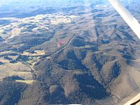
Devil's Slide (up, left of centre) and Guinecor Creek near Taralga.
-
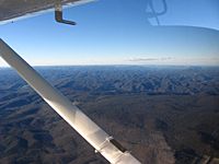
The Wombeyan Caves Road follows the main Dividing Range.
-
Looking NE towards Burragorang from overhead Wombeyan Caves.
-
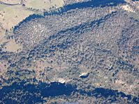
Wombeyan Caves with the Figtree Cave entrance visible bottom centre.
-
Wollondilly River with the Wombeyan Caves road approaching Goodman's Ford (bottom right to image centre).
-
Lower Wollondilly and the sandstone cliffs.
-
Looking NE approaching Lake Burragorang's southern end.
-
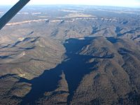
Lake Burragorang with the Wollondilly entering bottom left.
-
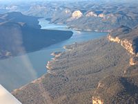
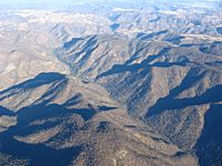
Looking N along Lake Burragorang and Burragorang walls.
-
Joining upwind 06 at Camden.
-
Final approach RWY 06 at Camden.
-
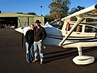
Jess and Andrew...
-
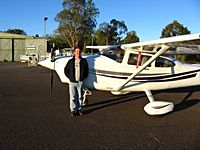
...and Iain.


