The Great Dividing Range - Relief Maps
The Great Dividing Range in NSW
When discussed in the context of its weather, the Great Dividing Range in NSW is generally broken up into three sections - the southern, central and northern ranges. These areas are easily identified on the map below as each has an elevated area of tablelands.
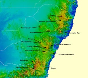
The NSW ranges showing forecast
district boundaries.
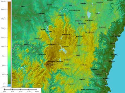
The central ranges of NSW
The central ranges include the northern-most part of the Southern Tablelands forecast district, and the Central Tablelands forecast district.
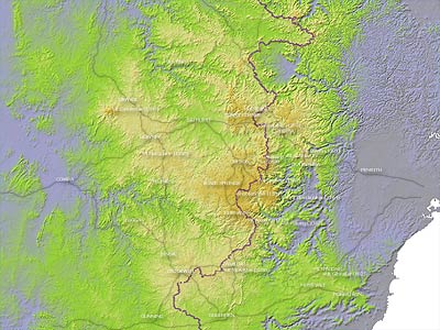
The NSW central ranges showing the
path of the main Dividing Range.
The Oberon Plateau
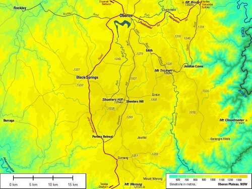
The Oberon Plateau comprises the broad, high
area at the heart of the central ranges.
The Northern Ranges
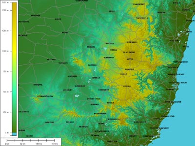
The NSW northern ranges including the Barrington Tops to the south, the Liverpool Range extending westward, the Warrumbungles near Coonabarabran, Mt Kaputar and
surrounds near Narrabri and the greater Northern Tablelands.
The Southern Ranges
The NSW southern ranges including the Snowy Mountains and the Brindabellas west of Canberra.