Light snowfalls around Taralga
Saturday July 17-18, 2004
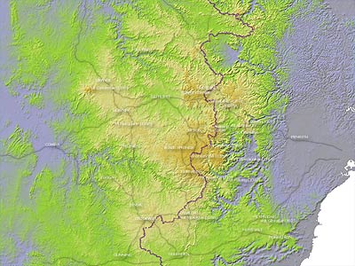
Taralga
Related
- » Australian Weather News - Report.
- » Mittagong Weather - Pictures.
- » Weatherzone Forums - Discussion leading up to, during and after the event.
Situation
A tongue of very cold upper air entered SE Australia on Saturday assisting in the development of a deep Tasman Sea low which combined with a strong high in the Bight to maintain cold conditions over NSW through Saturday night and into Sunday.
Several centimetres of snow fell around Goulburn on Saturday afternoon as the upper low passed over the area with light falls recorded elsewhere on the southern and central ranges. As the surface low formed off-shore a southerly flow developed bringing heavy, low level snow to areas exposed to the south and east including the Monaro, the Southern Highlands and upper Hunter and Barrington Tops. Areas less exposed to the southerly flow still fared well with lighter snow falling on the greater Southern and Central Tablelands including Taralga/Crookwell, Oberon and the Blue Mountains, and on the Northern Tablelands around Guyra and Armidale.
The following are the MLAPS MSL/THK analysis, the MLAPS 850hPa analysis, the BoM's manual MSL analysis, and the IR satellite image for 12Z (10pm EST) on Saturday.


Saturday Evening


Sunday


Saturday Afternoon, Goulburn Airport

Courtesy John Blackall

Courtesy John Blackall

Courtesy John Blackall
Sunday Morning MODIS Image

The early clearance of cloud on Sunday morning allowed the MODIS onboard the Terra satellite to capture this unique image of snow cover on the central ranges. Note how the snow cover reflects the terrain's elevation as shown below. Snow fell to lower elevations towards the SE of the area.