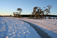
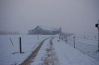
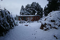
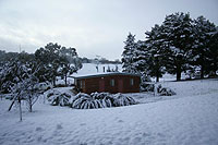
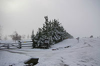
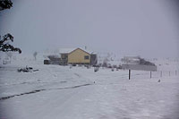
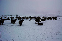
Widespread snow on the central ranges
Tuesday June 19-20, 2007
Shooters Hill/Mt Trickett/Gurnang/Taralga
Related
- » Weatherzone Forums - Discussion leading up to, during and after the event.
- » Sydney Storm Chasers - Wannabe no. 4 batsman Dann Weatherhead has added a blog entry with Matt Smith's pics from the Blue Mountains.
- » Blackheath Weather - Winter reports including images from this event.
- » Australian Weather News - Summary of reports along with charts, satellite imagery and other details.
Situation
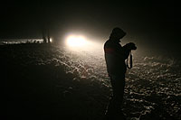
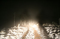
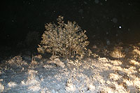
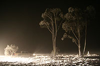
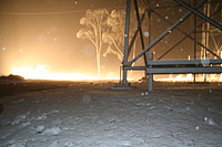
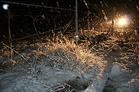
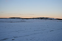
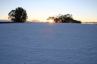
Low-level cold air advecting into an east coast low sitting off the Illawarra coast allowed an extensive and prolonged period of snow over the central ranges on Tuesday evening and into the night. Snow fell to around 800m AMSL.
A temperature inversion brought about by this cold air is thought to have contributed in sparing Sydney of forecast dangerous winds. Faster moving air was displaced upwards by the dense, cold air at low levels as it came ashore.
Such a feature is poorly reflected in the available model analysis charts, however they are included here for reference. See the AWN link to the right for further material.
- MSLP/Thickness
- Surface Dew Point/Wind
- 850hPa Height/Temperature/Wind
- 850hPa RH/Wind
- 700hPa RH/Wind
- 500hPa Height/Temperature/Wind
- 300hPa Wind/Total Totals Index
Shooters Hill
Light snow fell throughout the evening on the highest parts of the Oberon Plateau. Heavy snow developed later in the evening.
Taralga
Heavy snow accumulated around Taralga despite very wet ground due to preceeding rain.
