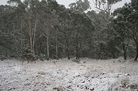
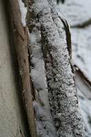
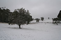
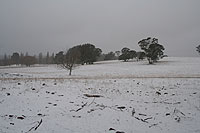
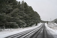
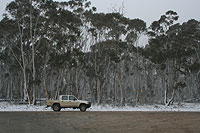
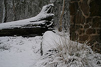
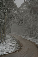
Light snowfalls on the central ranges
Sunday August 10, 2008
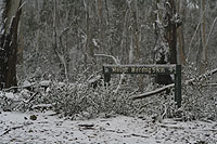
Shooters Hill/Gurnang
Related
- » Weatherzone Forums - Discussion leading up to and after the event.
- » Weatherzone Forums - Discussion during the event.
The timing and pace of this system provided an opportunity to observe both the passing of the front and arrival of the deep cold air behind it in one afternoon.
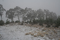
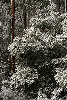
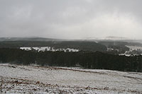
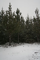
Accumulations in the central ranges were modest at best during the day although further falls did occur overnight. The quality of the snow was exceptional thanks to the dry, cold atmosphere.
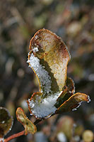
Around Shooters Hill/Gurnang 2cm of snow fell with the passage of the front (10-11am) and a further 1-2cm fell with showers during the afternoon.
