ECL brings heavy snowfalls around Taralga
Monday August 27, 2001
Taralga
Situation
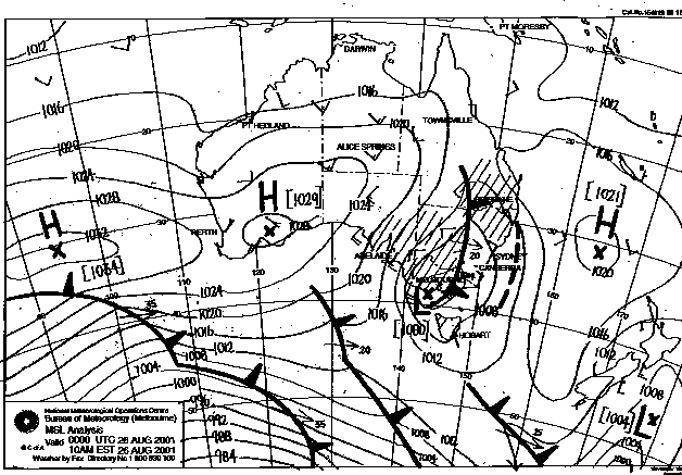
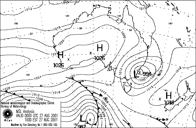
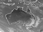
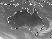
A deep East Coast Low formed off the Illawarra coast overnight which combined with the upper low brought wide-spread snowfalls over the south-eastern ranges of NSW during the morning.
Areas affected included the upper Illawarra (Southern Highlands), Southern Tablelands and south-east Central Tablelands.
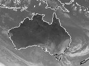
The following are the 00Z (10am EST) surface analysis and corresponding IR satellite pictures from the 26th to the 28th.

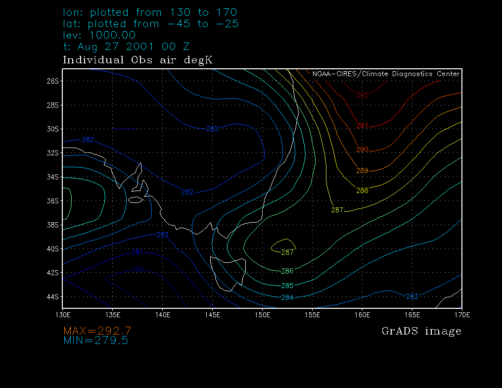
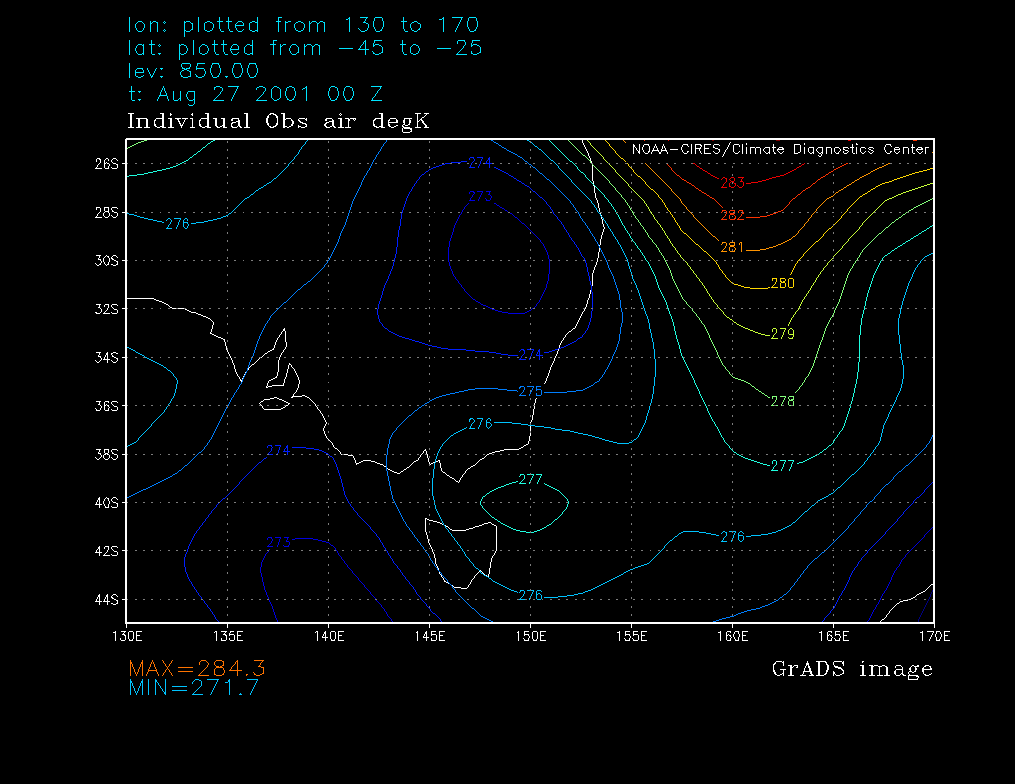
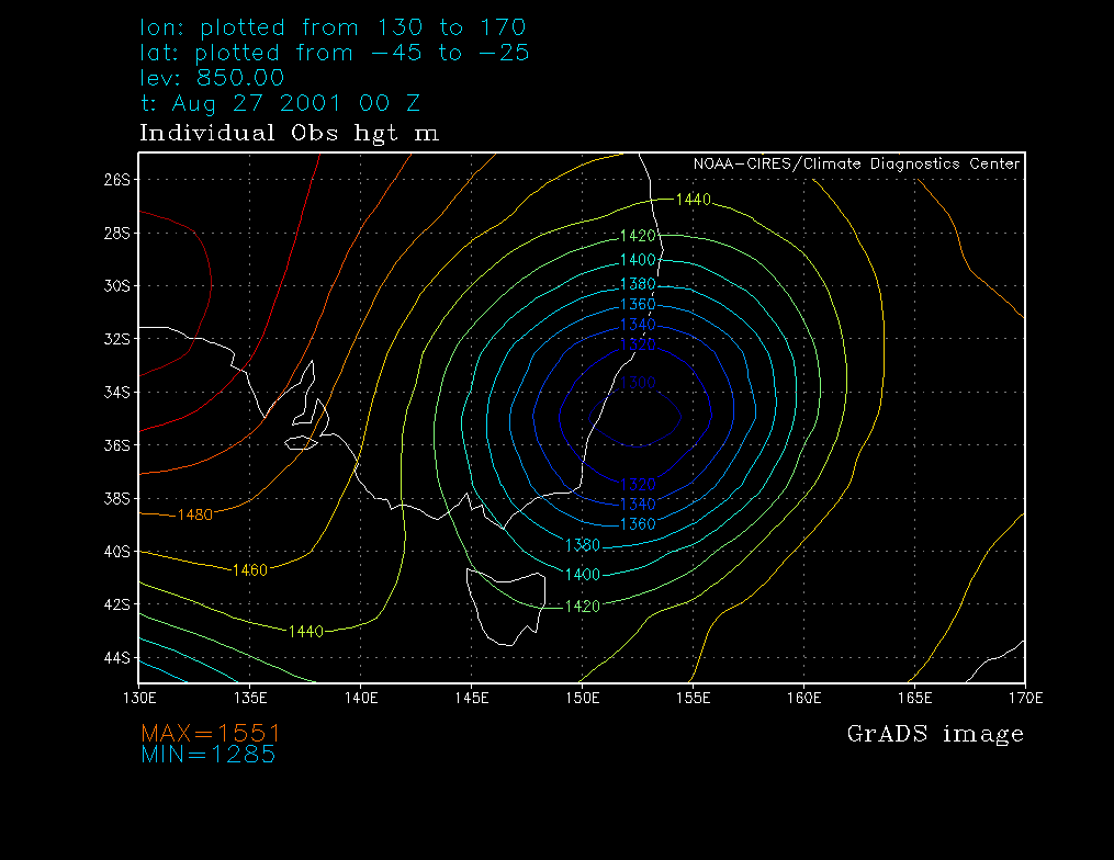
Reanalysis charts (27 00Z):
» SLP
» 1000hPa temperature
» 1000hPa height
» 850hPa temperature
» 850hPa height
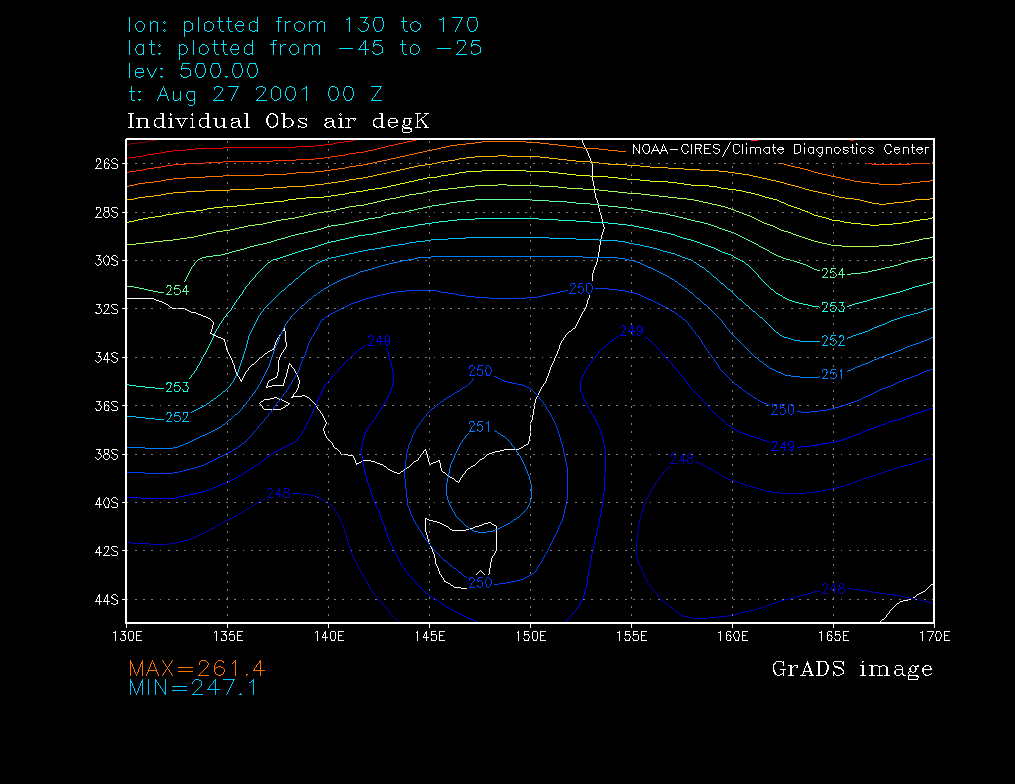
» 500hPa temperature
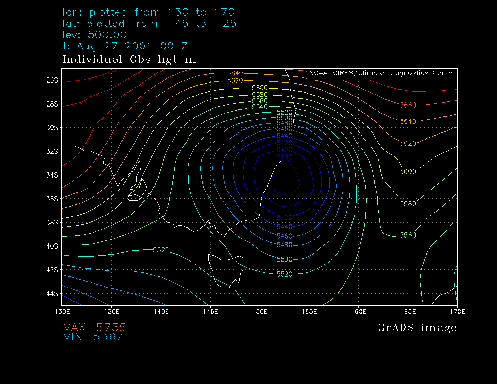
» 500hPa heigt
Report
The following are some shots taken at our vineyard on Bannaby Hill (966m), 7km east of Taralga. They have been scanned in from photographs so the quality is reduced.
They were all taken at around 11am, an hour or two before the coldest air cleared to the east and snow slowly turned to rain.


